Kingsbury Hut Fast Facts
Hiking or skiing from McMurdo: 11+ km
Cabin Elevation: 2185m (7170′)
Elevation Gain: 840m (2755′)
Maximum stay: 7 nights
Sleeps 4 comfortably, 6 maximum in 4 double bunks.
Map References
82 N/3 Mount Wheeler and
82 K/14 Westfall River
CAA Bulletin
Topographical maps may be ordered from several places, including HERE
The B.C. Forest Service – Rocky Mountain Forest District offers free Recreation Maps that will show most of the current roads. Â It is advisable to check our Access Updates tab for the status of the roads you will be driving prior to heading in to a hut.
Map Coordinates  50.995970, -117.140202
Details
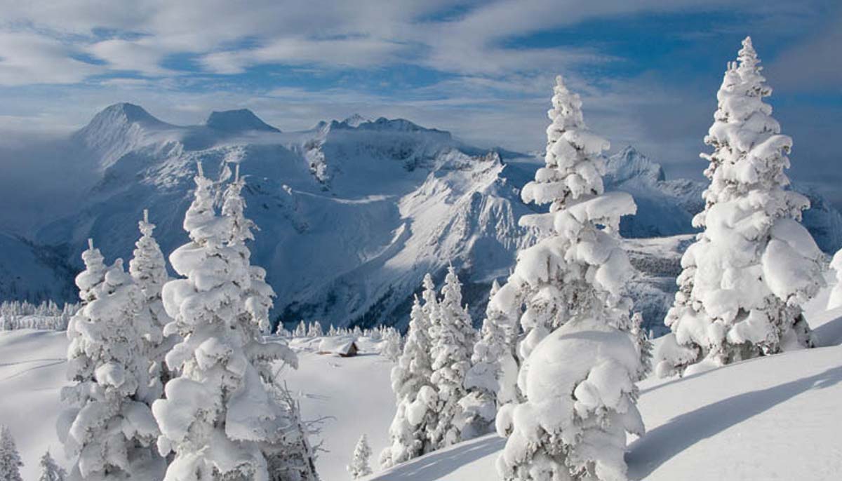
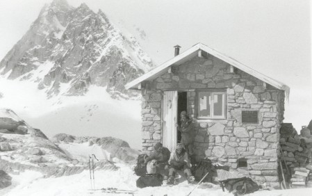
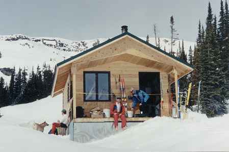
This true wilderness cabin is located in a remote and rugged backcountry setting near the headwaters of Bobbie Burns Creek. Â Tenured as a BC Forest Service recreation site, this 6-person cabin was funded and built by the Columbia Valley Hut Society in September 1999. Â The cabin is named after Mark Kingsbury, the president of CMH at that time. Â Mark took a special interest in the building of the cabin, making several trips in to monitor its progress and personally donating the cabin door and windows from his own “under renovation” home. Â The hut was named for him posthumously the summer after it was completed.
This hard to access location in International Basin serves as a base for experienced recreationalists to pursue climbing and ski touring opportunities as well as explore old mining claim sites. The hut is also well suited for ski tourers on the Rogers Pass-Bugaboos traverse to enjoy a night of “civilized” living before heading back out for the remainder of their trip. *Note food caches flown in have become a problem, please ensure non-perishable food only in burnable containers (boxes). Relative inaccessibility, glacier travel and rugged terrain limits cabin availability to experienced backcountry users only.
Formal Government Objectives: “Manage the International Basin Hut recreation site for a forested, semi-primitive non-motorized recreation experience. The cabin and the trail to the cabin will be maintained; the natural vegetation will be conserved. Opportunities for cabin accommodation to support ski touring, hiking, and mountaineering will be available at the site. Cabin reservations required.”
Summer Access
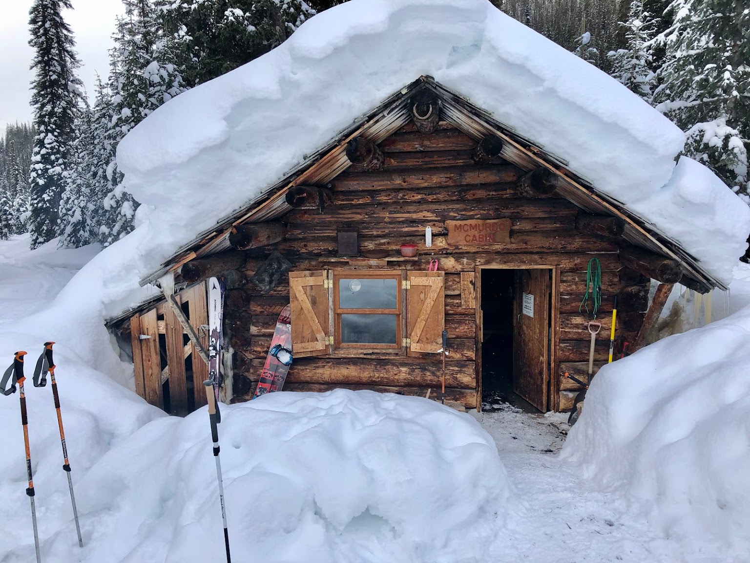
Drive west from highway 95 at Parson on the Spillimacheen-North Fork and turn onto the McMurdo road at km 45.8. An avalanche ruined bridge at km 56.0 requires walking from this point. Serious alpine cross-country travel is required and it is advisable to use the topographical map of the area to determine your route to the hut. Estimated time to hike from McMurdo Hut to the Mark Kingsbury Hut is 5-7 hours.
Winter Access: The Spillimacheen road is usually ploughed to the McMurdo road until mid December after which snowmobile staging/parking is either at km 27 or 21 for the duration of the winter. The access of over 30 kms of un-ploughed road negates any possibility of skiing in; helicopter access from Golden (20 min+ weather dependant) is possible. The Spillimacheen road is a high use, timber haul, road and the recreationalist must use caution when driving throughout the year. Snowmobiles are permitted up to McMurdo Hut, but not beyond.